RoadtripPart 4: bangin' around the Northwest |
Part 1:
first leg to Hybridfest
Part 2: local Wisconsin tourism and slightly beyond Part 3: South Dakota, Black Hills Part 4: bangin' around the Northwest Part 5: meandering east toward Denver Part 6: doing tech at Denvention (aka Worldcon) Part 7: the journey home |
Now I was really into come-what-may mode, which could also be read as "homeless and living out of the car" -- without any particular destination other than the west coast somewhere and what still felt like plenty of time at my disposal. Especially since I expected the density of waypoints and things to go gawk at to be a little lower so I could make more distance. Sure, I could have easily spent another week tooling around the Black Hills seeing more stuff, but it was time to cover more ground and traverse that remaining third of the country. |
If it's not oil, it's other dead dinos. The black line just under the horizon is a coal train, probably rumbling off to a power plant where most of its load would be burnt by tomorrow. |
And a short time later I spotted the source of said coal. Gack. I'm sorta surprised they located this so close to the interstate [or vice versa] and let people see the open-pit fugliness. |
Heading more north put this slightly strange-looking sunset on my left.
The baseline elevation had risen to about 4500 feet at this point, and with the car still mysteriously keeping the battery level lower than usual it made the warp-stealth glides much more tricky to hold. As soon as battery current crossed the slightest bit positive, the engine would start injecting again. Having the nice instant-response analog current meter is essential in this situation. And it didn't help that whenever I stopped and got out briefly, more of those damned biting flies managed to wander into the car and made it even more interesting to try and hold steady-state running conditions while reaching down to slap them off my legs. |
Night fell around the same time as I crossed into Montana, and I noticed I was
getting near a town called "Crow Agency" which I figured has something to
do with the Crow Indians. I pulled off into a little rest-stop for a routine
coffee exchange. The facilities looked a little sketchy, and in the restroom
there was all this badly-written graffiti referencing "crips".
Oh. Right. Crips and Bloods and all that. It's not just an inner city thing. Indian youth gangs, formed because they have a lot of pent-up frustration and nothing else to do out here in the often poverty-stricken middle of nowhere. About all there seemed to be for miles around was this place, and one of the omnipresent casinos up the road a little. Everything beyond was dark. I got my mugful of coffee, noting that the people staffing the place were very likely native-american -- certainly not a problem in itself, and I do feel for the Indian nation as a whole because of all the abuses and injustice over the years, but here I was definitely an outsider, a tourist. And possibly a mark. I was back outside sitting in the car and poking around on the GPS, looking for the next likely area that might have somewhere to pull off for the night, when a battered minivan pulled in next to me, trailing a ragged streamer of duct tape which was no longer helping hold up the back bumper. The kid driving it looked over at me and started giving me some kind of song and dance about how he had just run out of gas and had no money, basically trying to scam a couple of bucks off me. Ran out of gas? He just DROVE IN with this POS minivan, that doesn't sound like out of gas to me. I played dumb and he finally wandered away toward the building, and shortly came back and drove the van over to the fuel island and appeared to be pumping gas into it. Sorry, this isn't how you build your town's credibility as a worthwhile waypoint. | |
I snagged a picture of the van's plate in case any trouble developed later, and then hightailed it the hell out of there. Put about another hour of I-90 in between them and me, not quite making it to Billings, and then found a random rest-stop to pull into and sleep. But I was still feeling a bit paranoid -- I had just gotten into Montana, how much more of this kind of crap lay ahead? Were these local kids the type to cruise through highway rest-stops late at night looking for travelers to mess with? Despite this, I managed to sleep okay. Some other folks came in shortly after I did and hauled armloads of tents and air-mattresses out behind the picnic pavilion, so I figure if they were cool with sleeping here then I was probably okay too. |
Bozeman MT seems to be all about refineries and fuel industry. |
So why, I was wondering, was I only seeing cellphone towers if anything on said hills? |
I was rather surprised to see an occasional hitchhiker. We *never* see these back east anymore. |
More Real Mountains finally loomed in the distance, with snow on them even. That's what "Montana" is supposed to mean -- mountainous, right? |
But many of the hills going by were the typical lower stuff. That's not a road angling up the face, it's a reflection from the cable across my dashboard. |
The major hallmark of Butte, MT seems to be a huge strip mine. |
Now I'm all for supporting the rail industry too, but they've gotta get that carbon footprint under control... |
More typical hills, with one of those alien landing pods streaking toward
earth to land behind them. See, here's PROOF that they're here among us!
[Yes, it's just some schmutz on the windshield, but I could see certain publications really glomming on to something like this...] |
This was taken entirely too late -- I was so surprised I didn't even think
to grab the camera right away. First the silver Prius drifted past me, and
then a tight little knot of bikes came up behind us, very fast and very loud,
doing like 85 in the left lane in an absolutely unwavering 2 x 3 formation and
quickly thundered past other Prius too.
They were Hell's Angels. The genuine article. Perhaps they were headed here? Unfortunately, they were almost lost in the heat shimmer by the time I zoomed the camera all the way in and took what I could. But without the optical IS, this would have been completely unusable. |
As the day wore on it started to feel like more and more of a challenge to actually get out of Montana without going stark raving mad. It's a very big state, and I wasn't even doing its whole length since I had entered from the south via I-80. After Butte, I-90 heads up a bit farther north than I wanted to go, and it was time to play on the backroads again so in Missoula I got off the interstate and made a quick stop at a store for some food supplies. Then I got onto Rt. 12 to go over the Lolo Pass and head southwest toward Idaho that way. |
Ninety miles takes longer than you think when you're down to 35 MPH in the
frequent twisties and stopping once in a while to take a breather and actually
enjoy the scenery. A couple of hours later as the sun was starting to lengthen
the shadows in the valley, I pulled off to try and let more built-up heat out
of the car and took the opportunity to go slosh my sweaty self off in the
stream.
One thing I discovered on this trip is that a "sponge bath" wipedown with a damp rag can be an acceptable substitute for a shower, if all that is needed is to get the worst of the sticky off before going to sleep. It can be done quickly in a gas-station restroom, but here it was much nicer to hang out at the riverbank, listen to the water babbling over the rocks, and cool myself and the car down for a while. I don't think I was at the same pull-off shown in several of the pictures in a thread about motorcycling this stretch -- the road and river look similar but the background hills don't quite match up, and I think I would have noticed a sign like that near where I was parked if it had been there. With the way the road winds repeatedly back and forth and hugs the river, there can easily be stretches that look almost alike. |
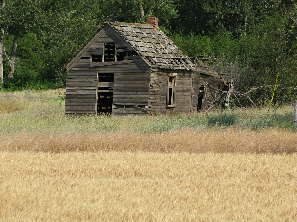
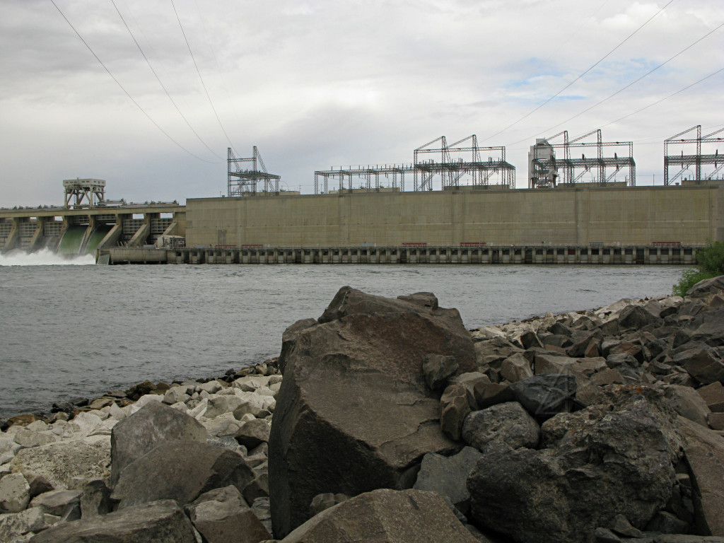
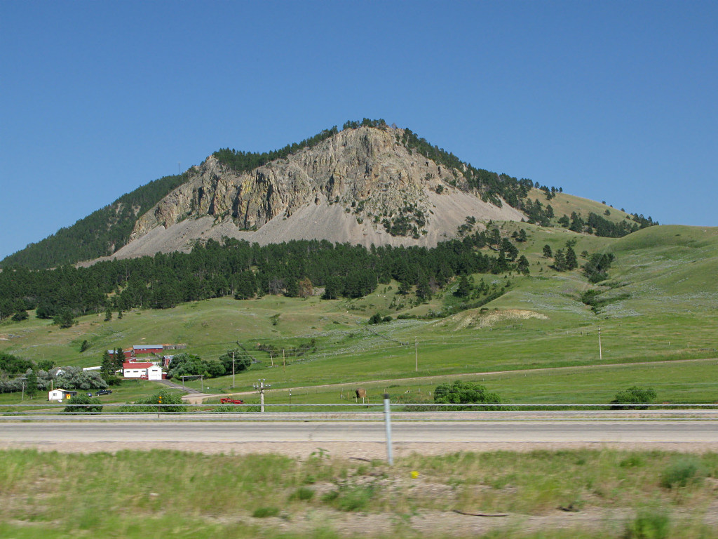
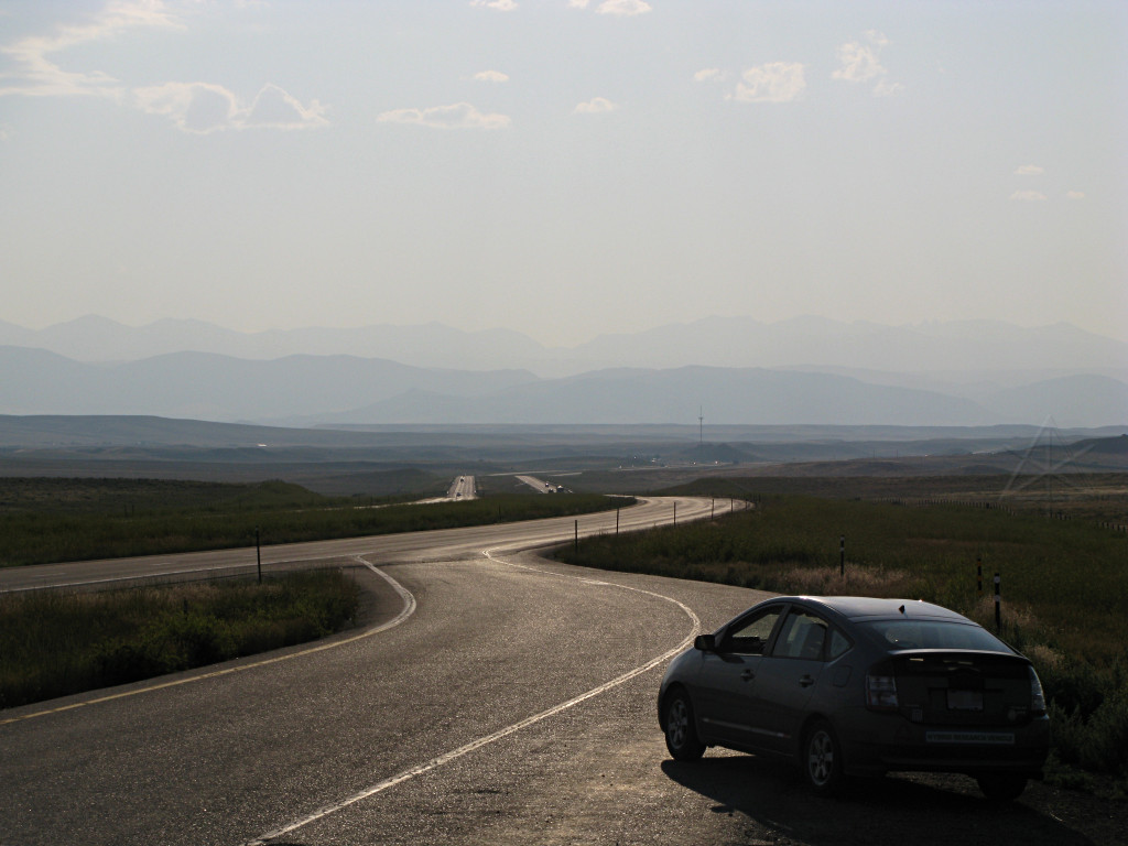
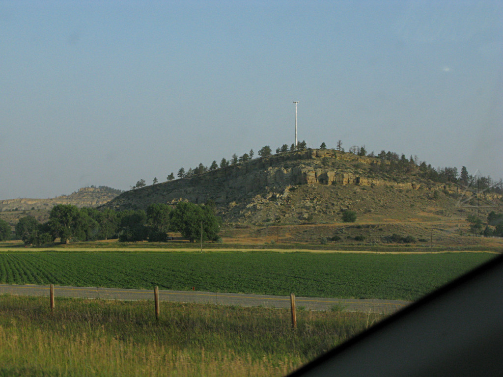
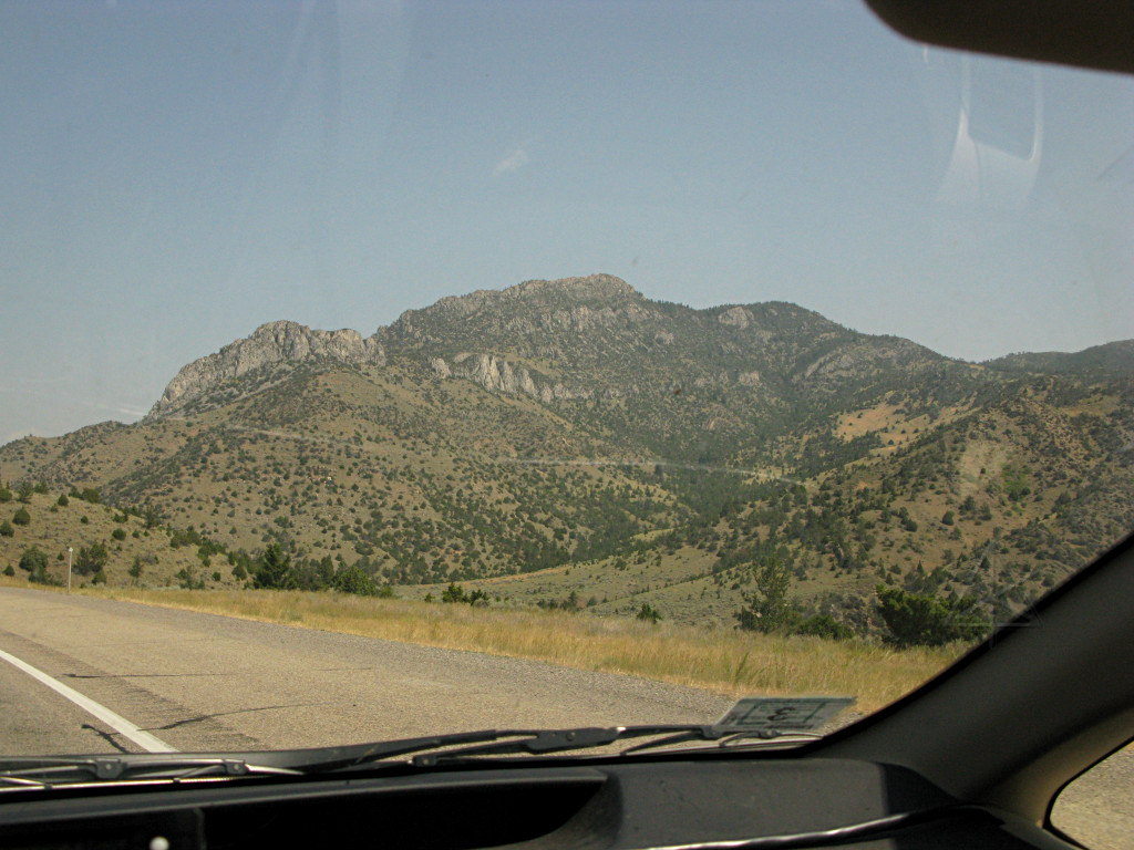
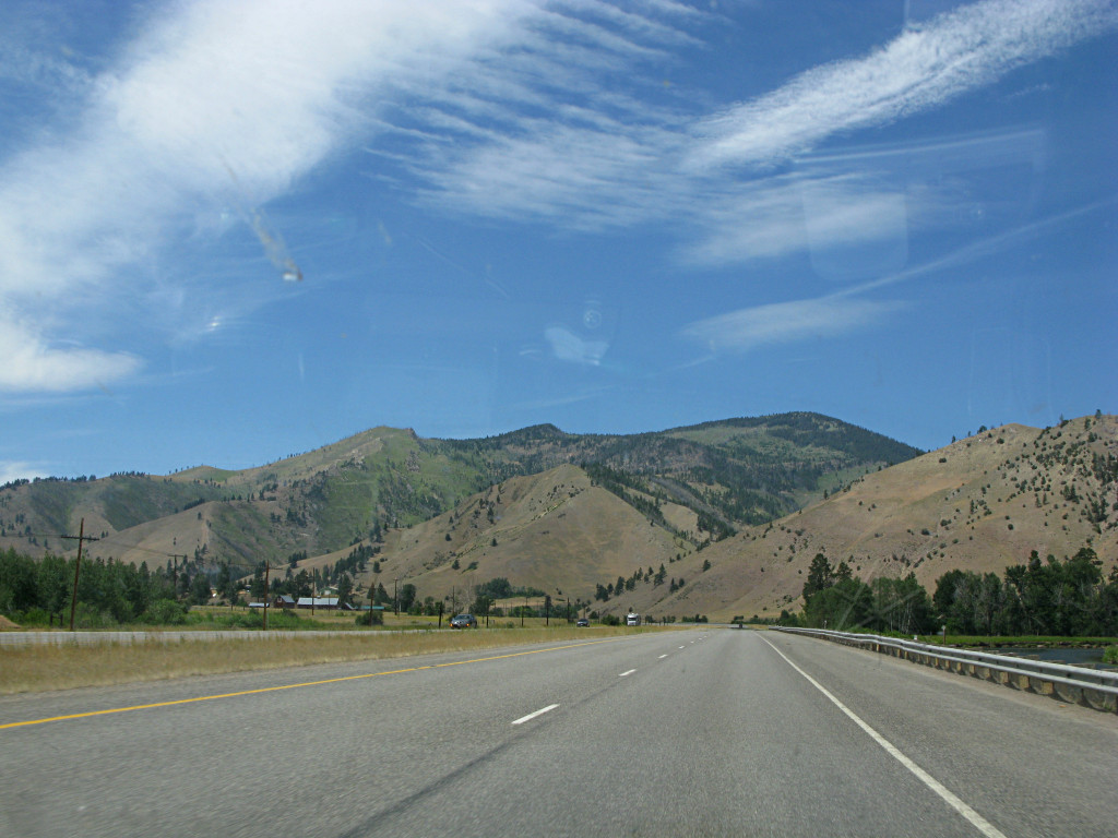
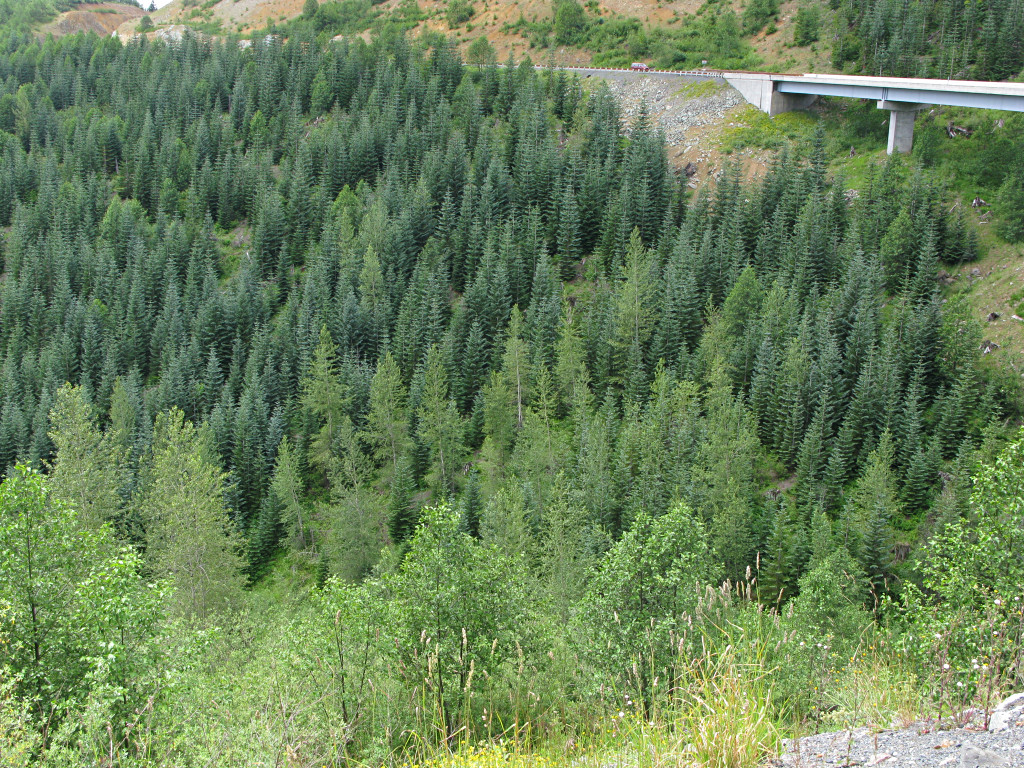
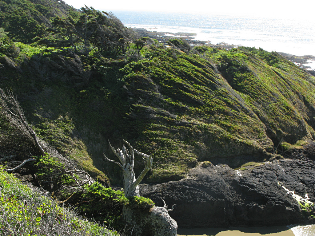
It was getting late in the day and already a bit dim in the deeper valley
recesses, and I started thinking about where to stop. I was also a bit
lower on fuel than I anticipated, which was starting to worry me a bit since
it looked like there was still quite a chunk of Rt. 12 left to go. But I
realized that I had already gone past several National Forest campgrounds
along the way, any of which would probably be fine for the night if any more
of them came along.
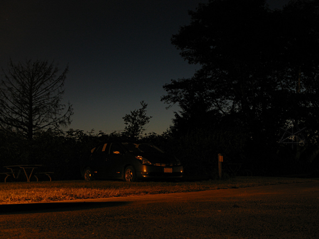
I pulled into one called Apgar and found that it was unattended registration, that simply wanted me to drop $8 into an envelope and pick a spot. But all I had was twenties and I didn't want to overpay, which in hindsight was really 
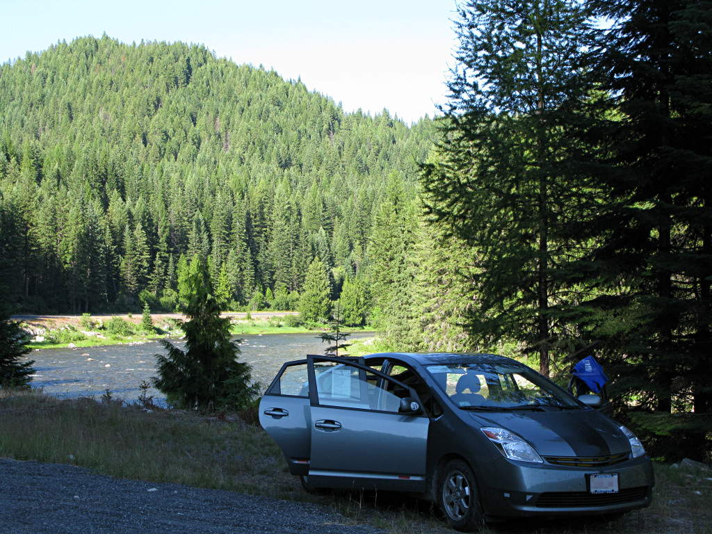
unfortunate because it would have been an absolutely *gorgeous* spot to overnight -- deep trees, right near the river with its steady white-noise lulling me to sleep. There was apparently nobody else in it who might have been able to make change, so I wandered out again and continued on, rounding rocky outcrop after rocky outcrop and watching the gas gauge drop from two "pips" left, to one, to ... 
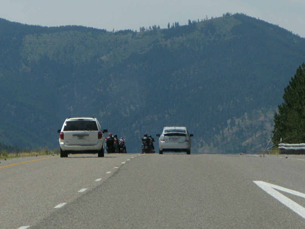
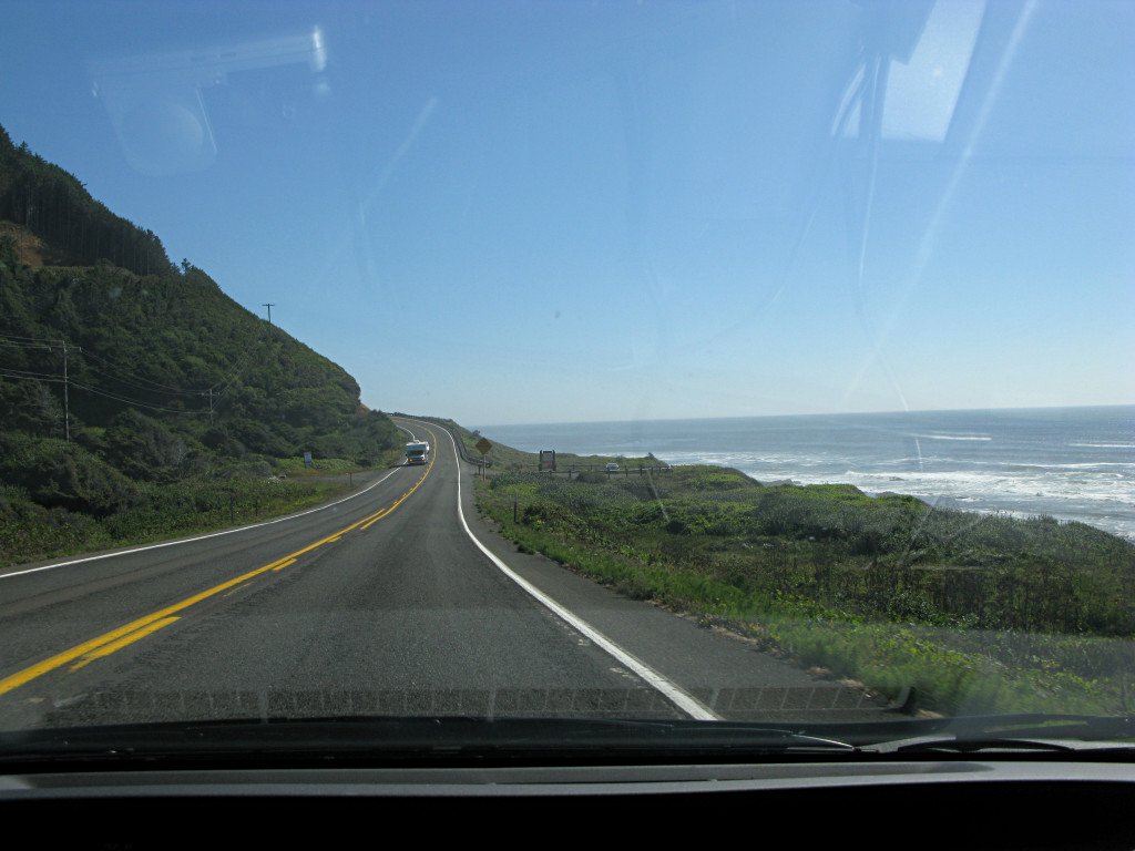
Well, then I suddenly came across the tiny town of Lowell, that isn't even listed in the GPS database, but there's a gas station there. Overpriced at $4.60-something, of course, as any "last gas for X miles" sort of place 
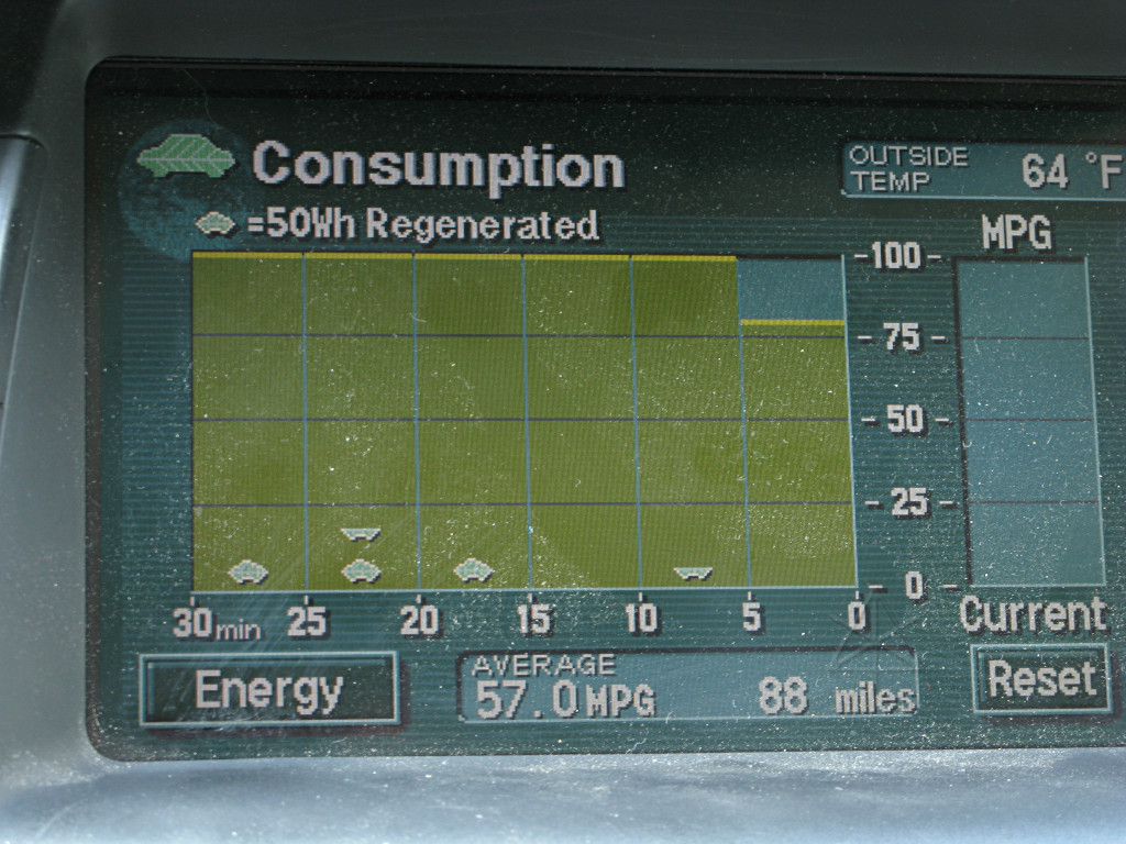
would likely be, but I threw a couple of gallons in [which I don't like doing because it somewhat screws with my tank-to-tank recordkeeping] and it gave me some peace of mind. With that I could make Lewiston and the WA border if I had to, but now I was into the idea of using those NPS campgrounds. Unfortunately, the next and *last* one along this stretch was completely full. But a guy in its spot #1 who evidently spends much of his summer there told 
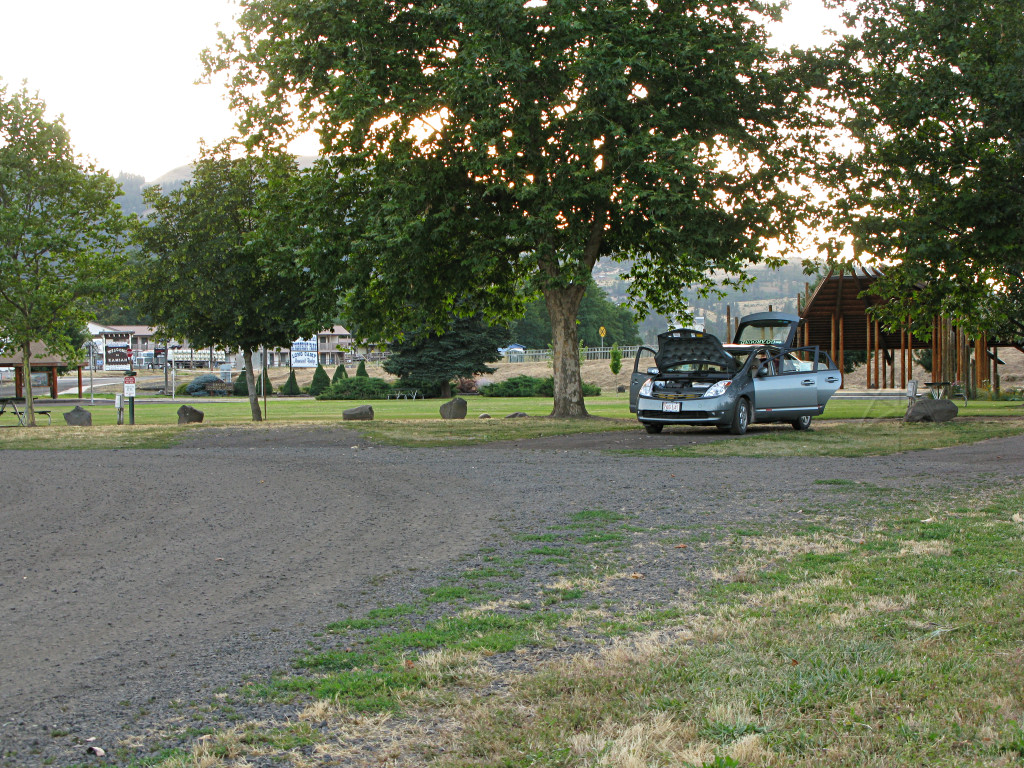
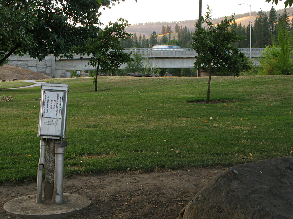
me that there were actually some *free* RV spots near the back of the city park in the upcoming town of Kamiah. He was also intrigued by the car and we chatted about hybrids and energy for a bit -- the usual story played out here: strike up a conversation, hand off a flyer, etc -- but I still needed a place to sleep. It was then a choice between going back to the other campground with my newly-obtained change or making more progress, and I opted for trying to find said free spots or failing that, just some random parking lot to pull into. 
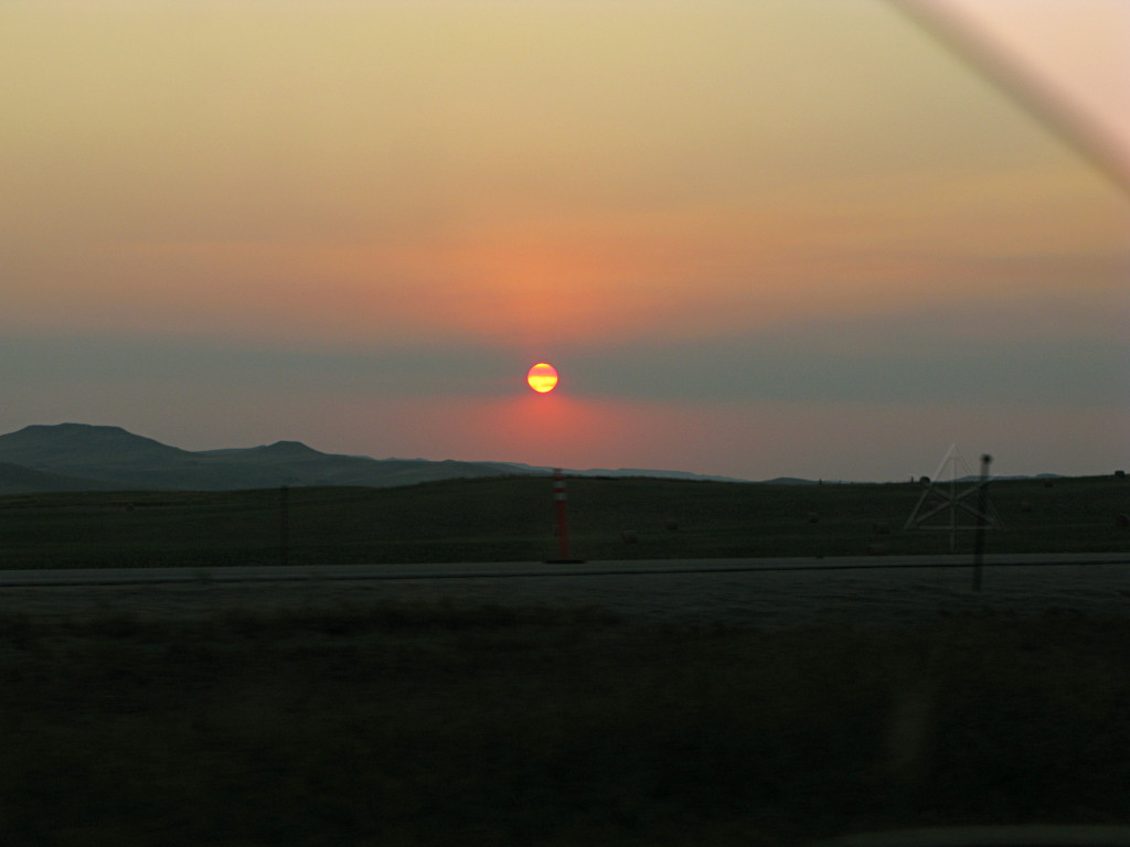
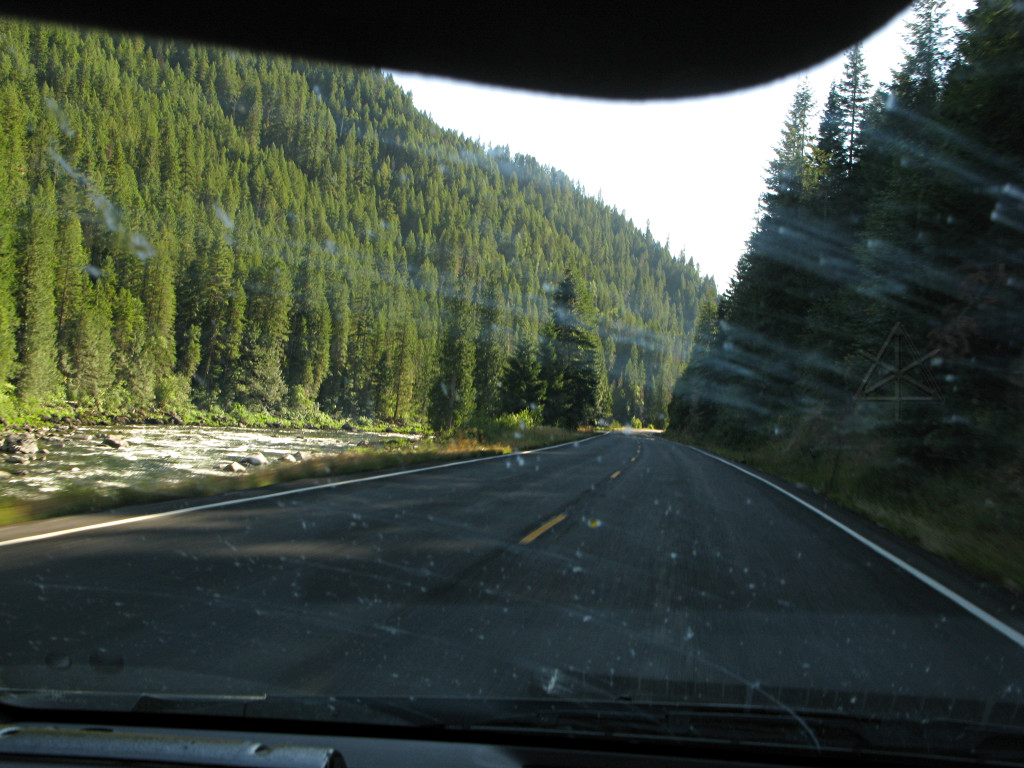
As dusk began to fall I saw one or two RVs in the riverside pull-offs that really looked like they were fixing to bed down for the night, but I was concerned that if I did the same and they knew/had something I didn't, I'd have park rangers rapping on my windows at 1 in the morning. Having seen some oddly complex park permitting structures in other places, I had no idea what the local restrictions might be. And Kamiah wasn't that far ahead by now. 
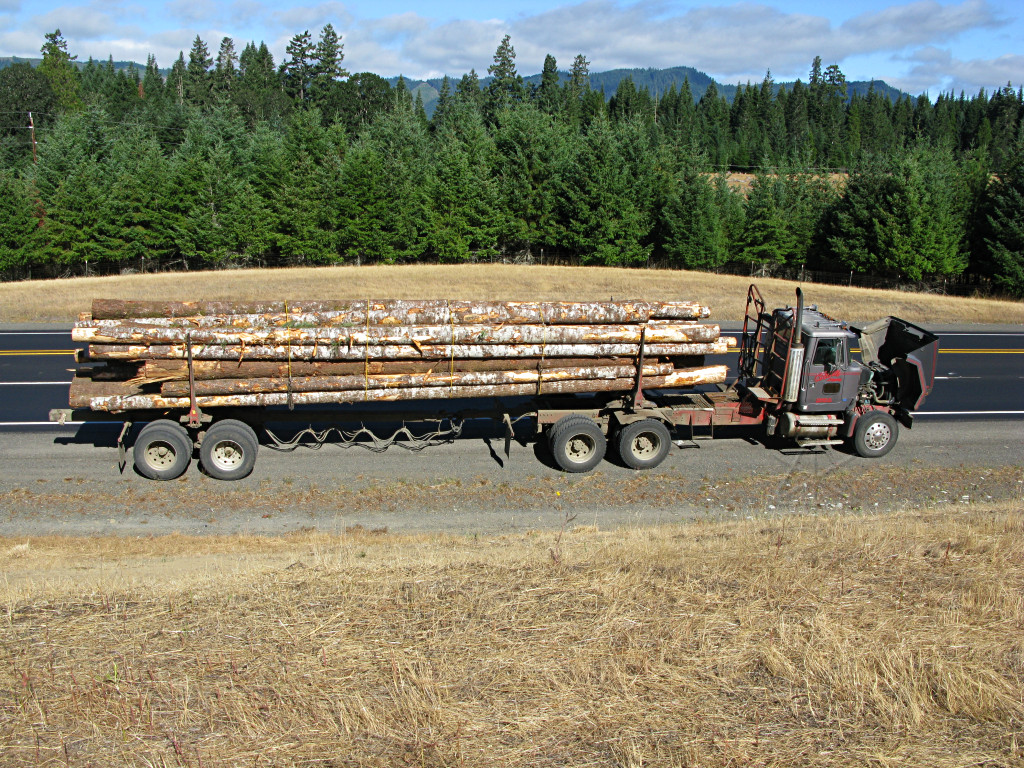
One learning experience on this trip was that just because a town is listed on a map or in the GPS, doesn't mean it's actually got any *resources* for people traveling through. There are a few dots with names by them that look the same size on the map, but for each one it's a total crapshoot if there's even anything recognizable as a town there other than maybe a couple of houses, let alone a gas station that's open. A little more thought about where to fuel up is definitely needed out here where distances stretch much longer than back home, with considerably less civilization and infrastructure in between. So I had no idea what I'd find in Kamiah, or if I would even know when I was in it. |
And we haven't forgotten our other underlying theme here. I spotted this one near Dayton, ID. |
From time to time I would also spot tall columns of smoke billowing up into
the air from some sort of brush fire, but never got near enough to find out
what was burning. I assume it was from controlled burns to clear out fields
or dispose of cuttings. In the process of trying to chase one that looked
feasibly nearby I jumped a short distance off 12, and was trying to dead-reckon
my way through some backroads toward it without a detailed map. This more or
less failed, and I was stopped by the side of a backroad considering further
pursuit or just giving up, and then I happened to look a little more closely
at the horizon.
And sat there dumbfounded for a while, forgetting all about the fire. You'll need the big picture to really see it; I was evidently looking at a piece of the Stateline project. |
With the memory of what I had seen in Minnesota and then plodding through
four more states without seeing much in the way of renewables, to suddenly find
*hundreds* of turbines lining the horizon was, as before, really inspiring. I
resisted a strong temptation to get off the highway and go find one of the
roads up to them, because at this point it was getting on in the day and I
had a lunch date to make. But there are many better pictures of this to be
had by googling for "stateline windfarm".
What's odd about it, in retrospect, is that the Livescience wind map doesn't show this as a particularly strong area, only meriting a "1" on their speed scale. But Iberdrola evidently knows the reality because here were the turbines, peppering the hilltops for miles and lazily waving their huge arms around in a sort of unidirectional synchronized-swimming dance. But as I was discovering for myself, feeling the car being buffeted around, there's hardly anything lazy about it -- with the force of the wind howling up the Snake River valley like it does, there are some *serious* zoobs being produced out there. It's also interesting that several rows of the turbines are down behind the crest of the hill, suggesting a fairly smooth laminar flow of wind *over* the bare bump, to form a little boundary layer on the backside, and landing squarely into the blades. |
My time constraint was to make it to the Kennewick area in time to meet up
with Billy for
lunch. He's one of the top hypermilers in the country, well versed in the ways
of the Honda Insight, and also flies and loves to talk about maps and terrain
and energy usage as it relates to all that. We met up at a Wendy's in Pasco
and nattered about a lot of this stuff for a couple of hours; it was a nice
little reference point, since talking to someone I already knew from Hybridfest
and some of the forums helped bring a little reality back into a world that had
been taking on quite a few surreal aspects to my narrow little New England
mind. With him I could vindicate my complaints about the tailgating truckers,
who we agree are still in the wrong despite being more or less a constant
throughout the journey thus far, and get reassurance that no, I probably wasn't
going to do all that well MPG-wise the rest of the way toward Portland because
of the headwinds. Well, with high fifties to 60 under my belt this far, he
agreed that I was doing decently well for a Prius on highways with hills and
that I'd probably kick butt upon eventually turning back east.
After lunch he headed back to work and I dropped southward out of Kennewick on I-82, crossing the Columbia twice in the process, and thought I was about to settle in for a longish run to Portland. |
Except that right after crossing the second bridge toward Hermiston I
spotted the
McNary dam
slightly upstream of me and felt compelled to go up 730 a little way to check
it out. There's a nice little park on the downstream side, from which the
second picture was taken.
It's mostly about hydro power -- not a particularly high head and no intentional lake behind it, but definitely a lot of water volume and power available. This is only one of five or six such hydro dams down the length of the Columbia. Clearly, Washington and Oregon have had a significant clue about renewable energy for a while now. What I find rather astonishing is that I was only at 385 feet elevation at this point, and that the river only has that much head to flow all the rest of the way across the state to reach sea level, about 260 miles from there, *and* supply a few more hydro dams' worth of power. That's like a 1:3500 rise over run, and a real eye-opener as to just how little pitch it takes to make water flow a long distance, and somehow it stays for the most part within its banks the whole way. Then again, crossing the Mississippi at 800 feet and considering how far that water would continue to flow presents a similar picture, but I didn't think about it back then. |
The haul through this stretch was made additionally arduous by the fact that the pavement was rather rough. But I found that if I hung toward the right of the lane just out of the "truck ruts", the ride was a bit smoother. This is unusual, since it's usually the other way around with the flattest pavement down where countless tires have rolled over it. With my MPG average rapidly heading south, I gave up on trying to push any harder against the wind and road and figured it was just going to be a long grind into Portland. And of course most of the other traffic was flying by in the left lane, completely oblivious to how much energy was being expended in the process. |
Then I came upon this fellow, who was setting a very stately pace just slightly slower than I was already going and I thought, okay, here's my perfect excuse to stay slow. I bled off a couple more MPH and dropped in behind him, still at my usual 5 or 6 seconds behind since hypermiling != drafting, meanwhile wondering if this was just a temporary condition and he was going to speed up and take off. He didn't, and for all I know had the truck speed-limited to 58, but aside from that I soon determined that this was also a fairly clueful driver. He didn't tailgate, left plenty of leeway for incoming traffic, and was generally setting a fine example of how trucks *should* operate on the highways. I will say that overall, despite the little industry barbs like "Sure Wish I'd Finished Training", the "swifties" seem among the better-behaved guys on the road, maybe a close second to Wal-mart and those USA Truck folks. | |
My "swift boat" carried me for the next three hours, all the way to Portland. If I was getting any distant wind shielding effect from the trailer at all I couldn't tell since as the road bent back and forth the wind came from different directions. Just look at the tree on top of the little rise next to the truck, for instance. The driver could always see me behind at a safe distance and I was sort of doing rear-guard action for him by keeping other cars off his tail. He probably wondered what the heck I was up to since this was probably very atypical behavior from a 4-wheeler, or maybe he didn't even notice. But between keeping that spacing and tracking his minor slowdowns on the hills, ridge-riding, deflecting traffic from the rear and continuing to fight the cross-gusts, it all took quite a bit of my attention. |
Nonetheless, I could see that the Cascades and river valley going past me
are absolutely stunning. Billy was also right about how the climate and
environment changes across the ridge, which basically occurs through the
Columbia River Gorge park area and happens almost on a knife-edge. I
literally rounded one particular bend and suddenly there were many more trees
on the slopes, and it kept building from there as the sagebrush and crunchy
weeds rapidly yielded to elegant stands of pine. Yay, I had my real trees
back again!
Right as I passed a sign for I-5 north to Seattle, it started to rain. How appropriate. Overall I had been fairly lucky on weather over the past days; Billy had mentioned how it had been uncharacteristically cool and clear over much of Washington in the past few days, albeit with rather variable clouds this particular afternoon. I landed at a little motel in Longview for the night, down to 40 feet of elevation and about 30 miles shy of Mount St. Helens which was next on the tour list. In doing a little more trip planning I had already decided that I wouldn't have enough time to go all the way out the Olympic peninsula northwest of Seattle, but there seemed to be plenty to see around where I was and then toward the south. I was already wishing I had another two weeks to go driving and hiking around this whole area, but I had to limit myself -- so this would be a quick trip up to the volcano and back, and then the Pacific would be within striking distance. The next morning I set off, taking "the five" up a short way to 504 which is the more northerly route into the St. Helens area. [And finally had a TAIL wind for a while.] Seeing a sign for an "ERUPTION surround cinema" tickled the cynicism meter a little as to how much of a tourist trap this was going to be, but it turned out that there wasn't too much of that. |
Fairly soon the valley below the volcano came into view, full of the mud flow from the eruption. Some growth has started here and there on it, but for the most part it's still barren. |
The Johnson Ridge Observatory can handle a lot of visitors, with fairly huge parking lots and even on this cloudy day had quite a few cars in it. |
Only when I was *leaving* and fairly far down the approach road already did the top of the mountain finally deign to peek out of the cloud layer. I hadn't realized it is actually that much higher! |
I pulled into the same gas station I had tanked up at earlier, and this pretty clearly shows the last part of the downhill run. I started at 460 feet and ascended to 4200 and back down, clearly way outside the limits of what the regen braking can deal with which is about 600 vertical feet at best and on the way down, there was a good amount of B-mode going on to help bleed off extra energy. But it wasn't all one big hill; there were various stages of up and down and opportunities for a little more subtle state-of-charge management, and overall I didn't do too badly here. |
At 5:30 PM local time that afternoon, I finally touched the Pacific. |
Someone farther up the beach was having absolute tons of fun on some sort of cart pulled around by a large parasail. |
Sometimes the road is down near shore level, and sometimes it's way up on the cliffs. Some of the overlooks are not for the vertigo-prone. |
All of it is very windswept, in an obviously consistent direction. I didn't see any turbines on the hills above, though... |
At one of the pull-offs, a local expressed interest in the car and my being all the way out there from Boston and we got to chatting, and while on the subject of the coastline's rugged beauty he mentioned that I should stop and see Depoe Bay which claims to have the world's smallest and one of the best-protected boat harbors. A little later I found myself in the middle of said town, and just across the bridge pulled into a convenient parking spot to get out and wander a little. |
Maybe when some higher price threshold is reached -- $5? $8? -- more people will begin paying attention to some of the other things they can do, too. Here's a great example, only requiring a little thinking ahead. These early warnings of a speed limit change are becoming much more common to see on secondary highways. 101 with its normal limit of 50 or 55 goes through quite a few towns, just like numerous other non-limited-access highways everywhere else. The in-town speed limits often come down to 25 MPH, and usually do so through a couple of steps down as the town is approached. Highway departments have taken to placing these outside of where the lower limits actually take effect, and I usually find that I can get into a long glide from about the point where I see these, match the new speed limits as they arrive, and thus completely cease using any fuel all the way into and much of the way through the town. | |
This is why I actually *like* construction zones, too. A moving car [let alone
a truck or RV!] represents a lot of energy storage in the form of momentum,
and it's the storage medium that requires no lossy conversion to expend in
achieving the desired effect, e.g. to move the vehicle further down the road.
With plenty of warning given far enough out like this, the driver can take all
the advantage of that built-up energy and squander as little of it as possible
by heating brake parts. But so many drivers, particularly the ones behind
those of us who are trying to be sensible about these things, just don't
understand. They will not gain any perceptible advantage by trying to make
instant speed changes,
especially if they wind up stopped at a light in the
town. Thus, there is no reason for them to be aggressively trying to push
through these slowdown regions, and yet they do it all the time anyway. It's
the same on the interstates -- a construction lane drop, with warning signs 2
miles out and huge blinking arrows, and they still feel compelled to cling to
my tail all the way into and through it. Or even when I'm heading off a ramp
from the right lane. It makes absolutely no sense, and is one of the things
that makes some people afraid to plan and execute efficient speed drops like
this because they think they'll "get run over".
Which is complete BS. As stupid as many drivers are, they generally don't ram their cars into those ahead out of sheer spite. Think about it this way: when ALL the traffic slows down in a jam, is there any sense in a driver somehow resenting the idea that all the cars ahead are slowing down out of necessity? Whether it's one car ahead or a hundred, what's the difference? Answer: none. But there's this meaningless tendency for people to think that being closer to another vehicle somehow gets them through stuff like this faster, and driver education and licensing infrastructures in this country have utterly failed to reinforce the facts of the matter. |
In one of said towns I did a quick grocery stop, as part of an ongoing effort
to avoid spending the whole trip as a fast-food junkie. Not being particularly
fussy about elegant dining, I'd pick up some fruit and deli and yogurt and
the like and keep it in a little mini-cooler tucked in the back, actually one
of those thick styrofoam boxes that meat or medicine gets cold-shipped in.
As I pulled into the parking lot I spotted this big blue bus at the far side
of it, with part of a glittery circus hoop visible through the window.
Which had me really confused for a minute, since I have some friends from back home who had embarked on their own cross-country trip earlier in the year in a big blue ex-schoolbus to bring their traveling circus act on the road -- except I thought they had returned home by now, especially since I had *seen* their bus sitting in a side yard a couple of weeks before I set out. |
101 doesn't necessarily hug the coastline all the way down, but wanders a mile or two inland sometimes through villages and farms. Or what's left of them, in some cases. |
I had been seeing many trailers with ATVs lashed down to them on the road with
me, and a while later I found an explanation. A signed pointed toward
"dunes area"
and I got curious, followed a short access road toward the shore and fetched
up behind a guy on a 4-wheel going very slowly along the pavement because
of his paddle-tread tires which, as some offroading mag put it once, give
"the world's worst highway ride". I loafed along behind him until he turned
off into a sand path and suddenly gunned it into a snarling beast and shot
away. I entered a parking lot full of many more trailers and people loading
and unloading and driving all sorts of buggies back and forth, and had to go
see what the draw was.
Well, it's clearly a dune buggy and ATVer's paradise, which goes on for *miles* along the coast. Gone were the craggy rocks and weird little islands, now it was all just a rolling sea of sand in front of me. |
Farther down the coast I came to Coos Bay and crossed over its graceful cantilever bridge, which immediately so appealed to me in an artistic way that I managed to snag this picture from the approach road. |
It's also graceful from the inside, in a very cathedral-like fashion. |
It was a little harder to find a campground that night, but a brief side-roads
loop off 101 turned up an RV park where they were happy to take me in and
didn't try to charge me chump-change to use the showers. In fact the
proprietress and I got to chatting in some depth, about my trip and the dunes
and whatever else, and I mentioned my still-vague intent of just heading down
101 into California. She maintained that if my schedule would allow it, I
absolutely must must must go see Crater Lake, a place she considered totally
awesome [in so many words, if I recall, and note that I was still in Oregon].
She didn't have tent sites per se, as the park was geared entirely toward RVs, but put me in a full-hookup slot and only charged me $15 or something. The place wasn't anywhere near full, so I guess any business is good business. I retired to the little mobile office to do some more trip planning, and after squinting at the maps a bit I decided that yes, Crater Lake was a little closer than I thought and thus an easy and minor route-change, and gave me a much more certain destination than randomly noodling down into NoCal and then wondering what to do next. Besides, my deadline for getting to Denver was looming much larger and I had already likely seen many of the prettier parts of 101 so maybe it was time to turn eastward anyway. With the decision now made and most of a route laid in for the morrow, I hit the sack. |
Go to Part 5: meandering east toward Denver
_H* 081030