Click any waypoint's green label for detailed info about that intersection, or select from the text list below the graphic. It's the same information in both places.

Leading numbers are elapsed distance from startpoint in miles. If you begin seeing an offset from the measurements listed here, just take it into account as not all vehicle tripmeters are dead-accurate. Your GPS may show a more accurate figure, and that's how all this was determined.
Waypoint list
0.0 Launch point at Kimball Farm
0.8 Great Rd
5.8 Gay Rd
6.6 Lowell Rd (rt. 40)
7.8 Old Dunstable Rd
10.2 Island Pond Rd
11.9 Scribner Rd
14.2 Rt. 40 again
15.9 Oak Hill Rd
16.9 Plain Rd
17.9 keep left on Plain Rd
18.7 join Depot St
19.0 Cold Spring Rd
19.9 Graniteville Rd
20.0 up big hill
20.7 Main St
20.9 Boston Rd
22.2 Rt. 110
24.3 return to Kimball
You may prefer the output format of Allan's Google-maps and similar links, where he's set up the course map and the turn-by-turn directions via Google and a Bing equivalent as web links. [May not work in all browsers.] Note that Google describes the turn onto Gay Rd at 5.8 miles as a short stretch of Old Boston Road first, and that some of the Street View shots in that same area are from a camera that had gotten fogged up.
Reminders
You have an hour and 15 minutes to complete the course to avoid disqualification. Test runs at local speed limits came in around 50 minutes, so that should be plenty.
Obey all traffic regulations, and do not endanger yourself or other motorists in the process of striving for best efficiency.
If someone wants to pass you, whether it's another particpant or a random local, move aside when safe and let them do so. Use your hazard flashers and wave them around if necessary.
If you're driving a Prius, you may find this document helpful.
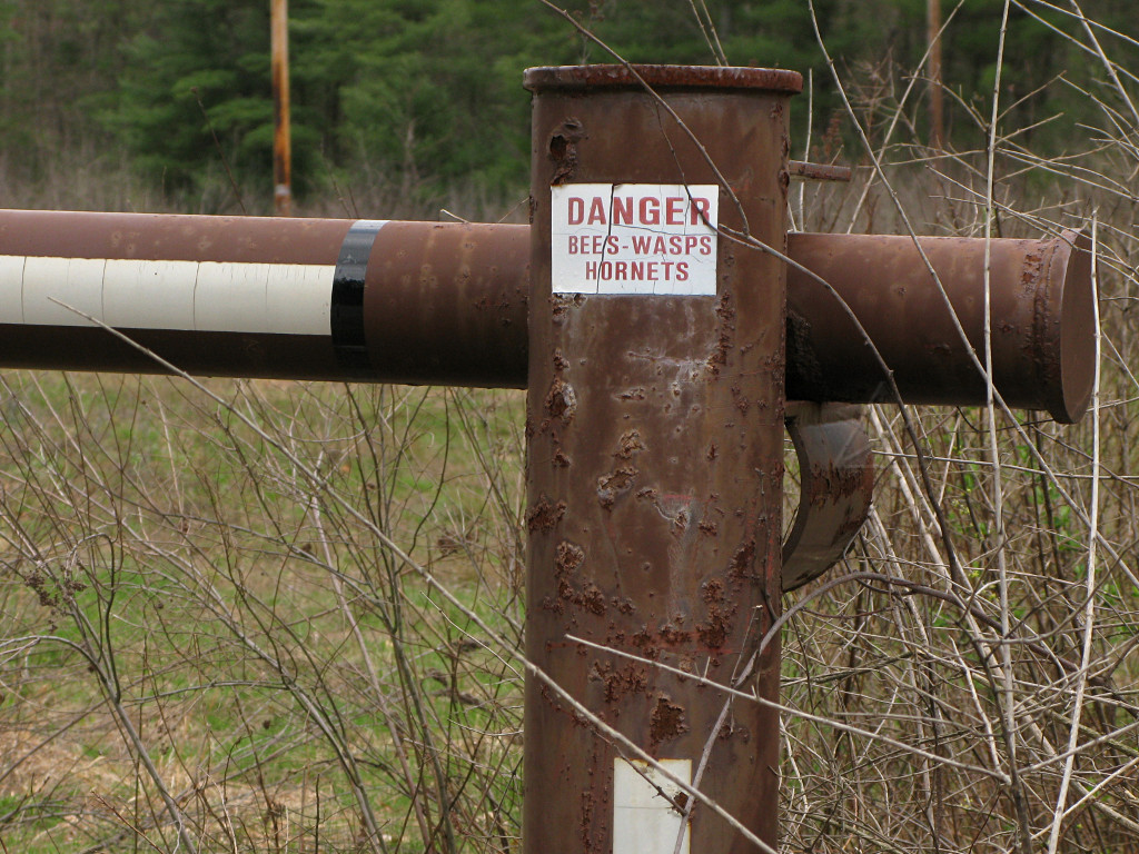
If you enjoy little puzzles: find this amusing sign. Hint: it's near one of the waypoints.
Remember, *have fun*! That's what this is about.