| In the process of pre-exploring another hike loop to lead for the Friends of the Fells, I found myself on the east side of the South Reservoir hopping onto a trail called Silver Mine Path, which wanders past Silver Mine Hill. I kept wondering, was there ever an actual silver mine associated with these features? |
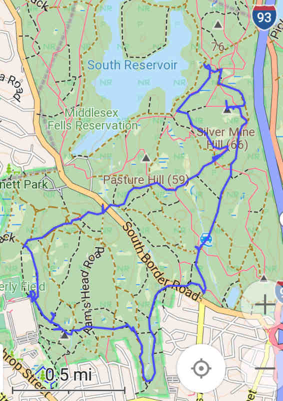
|
| 'Silver Cross' pre-walk |
|
Some digging around after I got back home turned up the answer: yes, there
was, for a short time, but pitiful yield caused operations to cease sometime
in 1883.
The mine shaft was then capped over with concrete in 1936, probably as part
of some CCC operations.
The site has remained a somewhat obscure point of interest ever since,
reached by what amounts to a short "rogue trail" from the orange-blazed
Reservoir Trail by those adventurous to investigate such dead-end
offshoots.
Ironically, my "research walk" had taken me very close to it, and I had
no idea at the time.
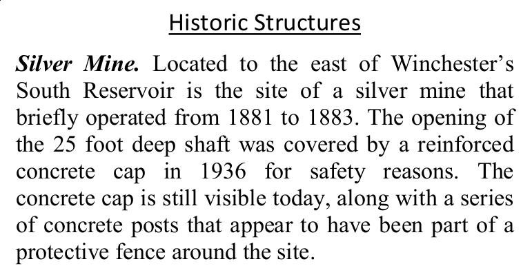
The first useful search result was this blog post, in which one must also scroll down to the comments at the bottom and chase the link to the Tufts/Medford historical pages with more of the history. There was also a brief mention of the site in this planning document [string-search for "silver"]. Interestingly, the site was already actually called out in Google Maps with reasonable position accuracy, and people have contributed a few useful pictures. After finally locating it for myself, I duly added it to Open Streetmap as part of my ongoing efforts to update various other stuff in the Fells. |
|
| Text from DCR resource-management plan |
| I had came up with a tentative title of "Silver Cross Challenge" for the hike route I was planning, since it happened to include the Cross Fells trail, Silver Mine path, and Red Cross trail. Vampires obviously wouldn't enjoy this hike! Now that I knew about the existence of the mine site, I felt an obligation to go back and actually find it for myself so I could bring my group there as a point of interest. On the first pass, I had wandered through the area that Scott had indicated in green near intersection C4-8, where the short trail between the orange-blazed trail and the green-blazed one goes down a hill in a deep cut that usually indicates that it was an old road of sorts. I hadn't seen any hint of the mine site in those travels, just a wet area near the bottom with a lot of mud. So later, I went back one morning for a short trip from Sheepfold just to go find the actual mine pit based on this new knowledge. |
|
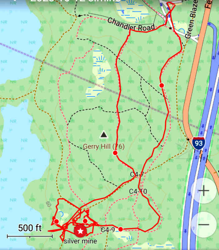
| GPS track of random wandering, trying to find the site |
|
The images online didn't give enough context of the surrounding area,
so once I reached the vicinity it took a bit of random questing around
and minor bushwhacking to finally find the mine site.
I was basically looking for the exposed corners of the cover slab, and
optionally the sign on the tree hoping that it hadn't been removed in
the meantime.
The
Fells trail map
is a little out of touch with the on-the-ground reality around that area,
and Scott's green circle wasn't exactly centered on the right spot.
I wasn't sure how close to the reservoir I needed to be, and kept looking
too far west for something resembling the mentioned "flat area".
After widening my search a little farther up the hill, I finally spotted the small concrete pillars on a rise just south of the old roadbed cut, and there it was! The sign was still on the tree too, albeit not really visible from any official trail. |
|
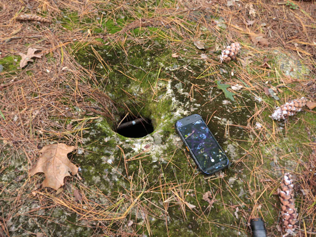
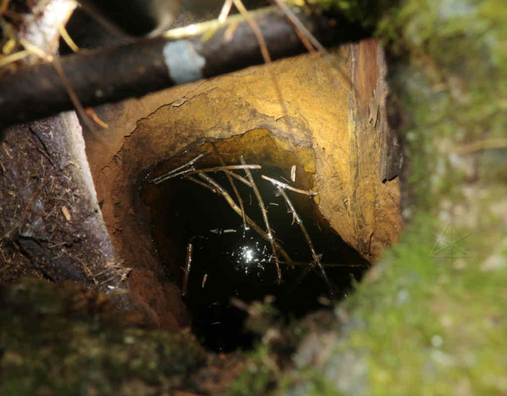
| Hole in concrete cover slab |
| Having now confirmed the fact that there's a hole in the concrete cover, I wanted to see how much of the shaft I could see down into. The hole isn't very big [phone for scale], and has a piece of rebar across it. [Noting carefully that the hole is the perfect size for a phone to drop through ...] |
|
| View into old mine shaft |
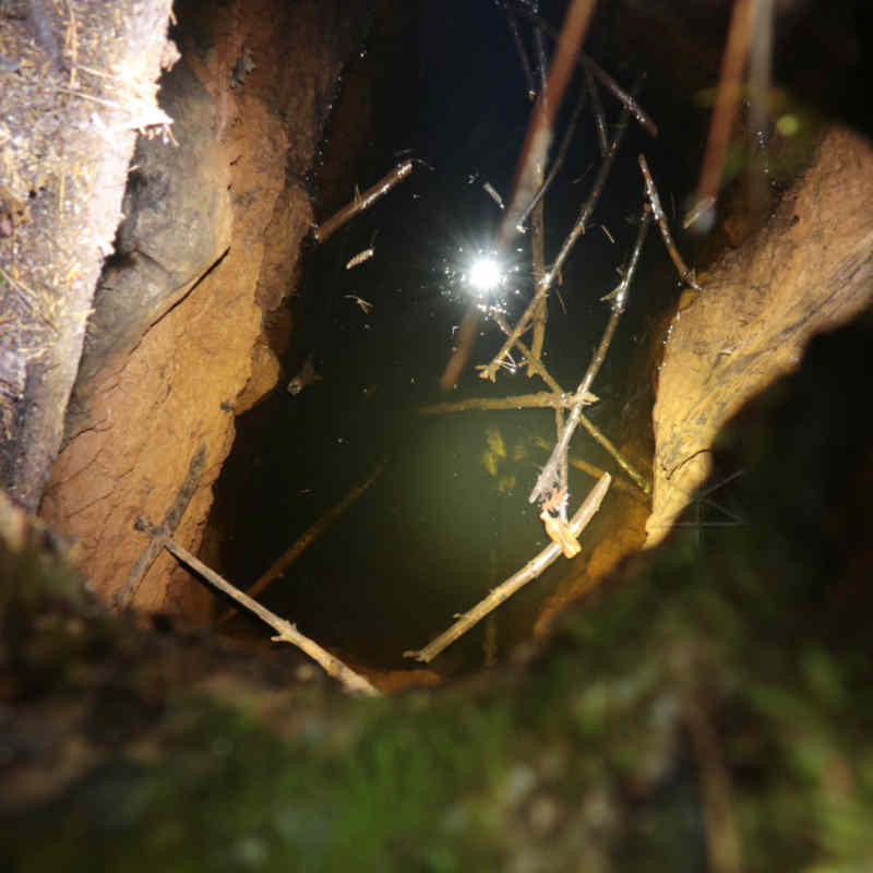
| Fortunately I always carry one of the new high end LED flashlights, so I could send 1200 lumens down there next to the camera lens. The light beam is a little narrow, so I shot a couple of different angles to try and see the extent of things. It's ... a hole in the ground. |
|
| View into old mine shaft |
|
It was still hard to see the depth under the water.
There appear to be some submerged sticks, but they don't look like they're
sitting as far down as the history claims that the shaft had been dug.
Depth perception from a small viewport and straight down onto reflective
and murky water isn't easy.
For the real hike I planned to attach a lanyard to the flashlight and try
to lower it a little farther in.
Here are a couple more historical reference pages which can lead to all kinds of other ratholes about Fells history in general.
|