Monadnock hike

      --   all barefoot!

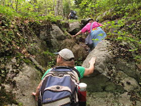
  Memorial Day weekend 2017.  What were we going to do with ourselves?  We weren't about to drive ten hours to bumble our way through another Balticon and get bullied by idiotic hotel personnel; we hadn't mapped out any other roadtrips, and the longterm weather was a little dicey.  But a day-trip up a fairly popular nearby peak seemed totally doable, and a nice optional challenge for our feet in the process.  Nobody would be obstructing our way on mountain trails saying that we needed to have shoes on for "safety and security".  Bah.

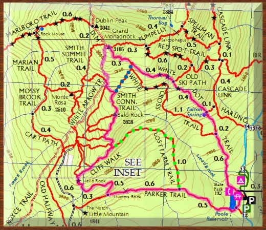
Route map of Monadnock hike

Barefooting Monadnock is certainly not a new concept; plenty of results come up from a search on "monadnock barefoot" and they all describe it as being pretty awesome fun.  One account suggests that some of the park's own rangers even get their share of shoeless miles in.  So we did a little planning and google-earthing, and figuring that it was likely to be a pretty crowded weekend up there, I endorsed the idea of a slightly longer but less-traveled route to make a nice loop of maybe 4 and a half miles.  That might have been a bit ambitious -- not from anything to do with our feet, but just from hike length and elevation change.  As it worked out our group split a couple of times; a subset headed back down via the green dots and another bypassed the summit via the blue ones.  But bagging the peak wasn't the sole aim here; the idea was to get out into the woods and just have fun with it.  There would be plenty of vertical to keep everyone happy.


[Images are linked to larger copies.]
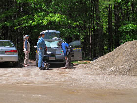
Gearing up The four of us and gear made a neat Prius-load going up, and after a fairly minimal wait in line at the entrance gate we slotted into a convenient spot where others had evidently been afraid of a pile of gravel.  Next came DEETing and pack-contents shuffling and trying to anticipate what clothing might be needed over the course of the day.  It had warmed up beautifully, to the low sixties or so which is about perfect for hiking.

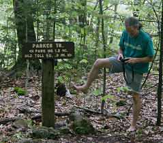
Starting along Parker Trail
    [Pic: me! (example)]
Small reservoir near parking lot
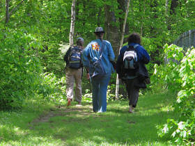
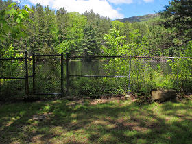
We set off along the Parker Trail, over a pleasant grassy path.  It borders the bottom of a small reservoir.

My pictures often have the rest of the group leading so I could pick up the occasional "action shots".  As this account is a group effort, pix from others are indicated as such.


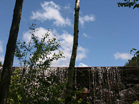
Dam at end of reservoir
    [Pic: hs]
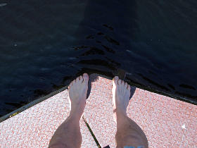
Plates over dam works
There's a small level-control dam at this end of the reservoir; we took a quick detour up top.  The valve structure has steel plates loosely laid over it -- a little wonky to walk on.

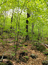
Beech woods along lower trails
    [Pic: sjs]
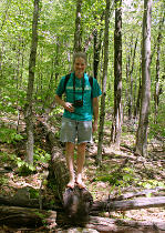
Standing on a cut log
    [Pic: hs]
Past the dam, the grass soon gave way to typical woodland dirt/rocks/roots with a fairly generous fallen leaf cover in the hollow spots -- much of it from the numerous low beech trees.  The Serious Birder in the group was mostly noting songs of ovenbirds and red-eyed vireos.

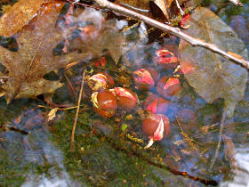
Acorns sprouting underwater We found acorns trying to sprout and grow, but completely underwater in a tiny brook that crosses the trail.  These probably weren't going to survive...

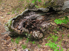
Gnarly trunk with galls And at the other end of the mighty oak's life, this sawed-down section just spoke "gnarly" to me.  Big galls and significant core rot will sorta do that.

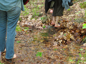
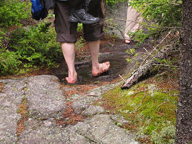
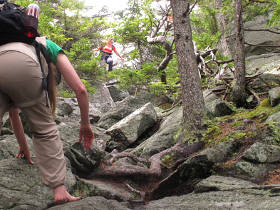
Squishy wet parts of the trail The trail had quite a few wet squishy sections, but one big advantage of barefooting is not worrying about getting your hiking boots wet.  And of course this is one of several photographic butt-shots from the day ...

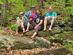
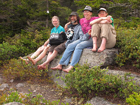
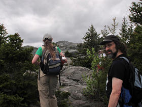
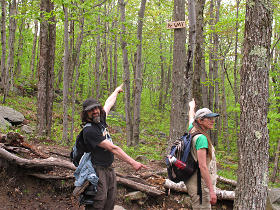
Timed group selfie 1 Our little band of geeks, via a "timed selfie".  Having a tiny Gorillapod attached to the camera helps with these.

At first intersection
    [Pic: hs]
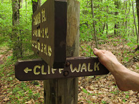
Intersection to pick up Cliff Walk
The first major intersection, where we'd start up for real along the Cliff Walk trail.

Our different cameras and lighting conditions played total hell with saturation and white-balance the whole day, but there's no particular point in trying to match it all up in post.


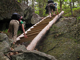
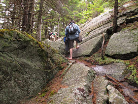
Weird ladder up the rock We soon came to this; the park trail-maintenance crew had evidently decided this would have been more of a rock-scramble than many were willing to tackle so they built a massive assist ladder.  The rungs are just big 4x6 pieces, which sit at an angle so one winds up stepping on the edges all the way up.  An interesting thing to scale shoeless, to be sure.

  Flora & fauna

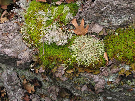
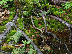
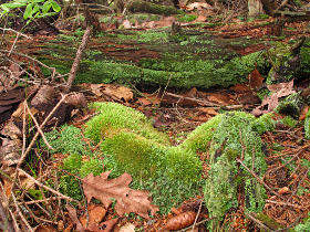
Moss and lichen variety Moss and roots
    [Pic: hs]
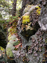
We started seeing a wide variety of moss and lichens, which only kept getting prettier as we continued up.


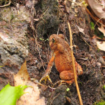
A tiny frog A small toad sat in a pocket of rock and watched us pass.

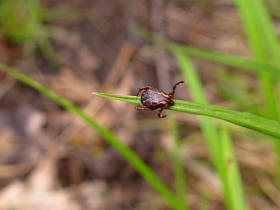
Questing tick! This is what ticks do when they're waiting for a victim -- "questing", by sitting out as far as they can get on low plant life and waving the two front legs around to try and hook a passing critter.  They can wait like this for a *very* long time.

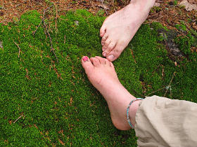
Working our way up Bare feet adapting to rock
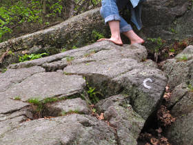
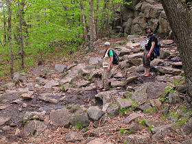
Cliff Walk is marked with white "C"s as well as big white diamond-shaped blazes.  Nice example of how feet conform to the shape of what's under them and provide plenty of stable grip.  Our feet were doing fine, but even here we really had just gotten started.

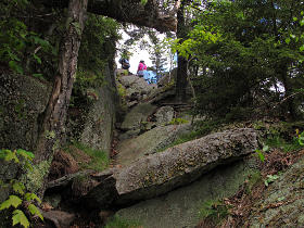
Up through a natural hole The rocks and trees form sort of a tunnel here, at the top end of which is a nice open knob.

First real view Tiny purple pinecones
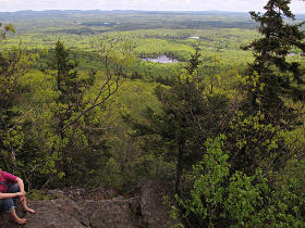
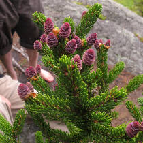
From the big and sweeping to the small and precise: this was our first real viewpoint, probably at Point Surprise or near it.  Next to our brief stopping place were low pines with these tiny, colorful cones.

More types of moss Mmmm, moss
The diversity of mosses and lichens kept increasing, and places where layers of moss and pine needles and rotten wood had built up over years were delightfully squishy.  Bare feet don't damage this, where boots certainly would rip it up.

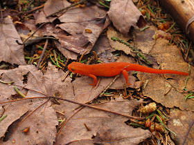
Orange newt Someone had evidently gotten turned into a newt.  Or more properly an eft, as the biologist among us pointed out.  Wouldn't this make a great logo for a chip-card?  That's a *really* obscure reference...

    Along the ridge

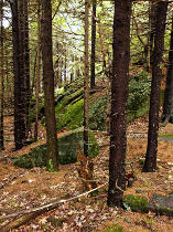
Spruces at higher altitude
    [Pic: sjs]
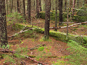
As we continued to ascend, the trees had changed over more to evergreens.  Less bird song in general to be heard up here.  Our day was still delightfully cool, but we theorized that these deep glades would probably still be refreshingly shady on a hot summer day as well.


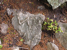
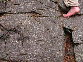
Odd rock surface features Many of the rocks have this sort of weird surface feature.  Almost like prehistoric diamond-plate.

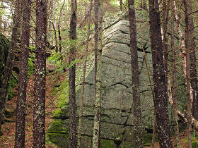
A very linear rock Pyramidal rocks, ancient ruins?
Some of the fracture lines have left *very* linear breaks and shapes in the rocks; these almost look like they could have been ancient ruins of something human-made.  No wait, it was the space aliens, that explains it.

A wider variety of lichens
    [Pic: sjs]
And there are some of the aliens now, busily at work!

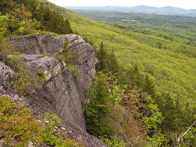
Out to the eastern cliffs From an overlook point farther on we could see more of those very flat faces in the cliff; this is a pretty common attribute of much of Monadnock's rock.

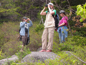
Miscellaneous optical devices These vista points had everyone juggling our various optical toys...

Happily splashing through puddles The numerous puddles provided happy opportunities to wet down our soles, which definitely changes the grip dynamics for a while as they dry.  Some of the larger puddles showed clear evidence of people having worked very hard to keep their boots out of the water.  Heh.

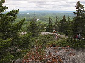
Snack stop Another snack stop, with the view to the southeast that we'd been enjoying all along here.  Overall, Cliff Walk is gorgeous and definitely less traveled.  That bump on the horizon is Wachusett. 

The sky had clabbered up quite a bit, but not in a threatening way.  This was perfect, in fact -- it kept things from getting too warm and provided better diffuse light for photography.


Timed group selfie 2 This was a good spot for another timed "selves-ie".

This was also around where we first split the group.  One of us started to receive warning signs in some joints, and decided the better part of valor would be a leisurely return to the base via Lost Farm trail.


Still working upward The rest of us continued working our way up, up, and up.  A lot of up.  It's a mountain, y'know, and gravity sucks.

Trekking-pole scratches These scratches are visible on many of the trail's rock surfaces.  They're from the carbide tips of trekking poles, which a lot of people use as stability aids and additional propulsion.  There are lots of videos about these and usage thereof on youtube, and some hikers won't tackle anything without them.  Since my legs still work fine, I'm happy to just pack lighter and mountain-goat my way up and down using my existing mechanics -- and bare feet leave just about *no* impact on the terrain.

Pole scratches and big boot-prints, or almost zero evidence left that anyone has been by at all?  *Our* choice is pretty clear here.


Finally meeting other climbers As we worked up this steeper section, we started to hear voices.  For the first time in the day, we *finally* met some people coming the other way.

First view of the summit Another far-shot view of the peak
    [Pic: sjs]
After passing through more stretches of woods we emerged into the first big open area around Bald Rock, and got our first real glimpse of the summit.  It was obviously teeming with people who had already gotten up to it.

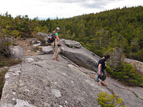
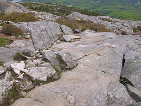
Heading down the slabs The rise to the peak was still sort of far away, and bit of down and up was necessary to get to it.  But now we could start really enjoying the big flat slabs.  Bare feet stick amazingly well to this, and we could freely walk up and down some pretty significant slopes.

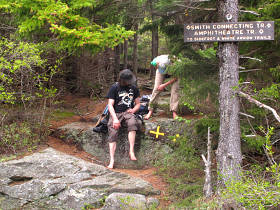
Second split-point Although only two are visible here, evidently this intersection is named "four spots".

The group split again here; my companions looked at the distance and rise to the summit versus saving resources for a safe descent, and decided it would be better to continue along Smith for a bypass.


  The day was also getting on, and we needed to consider our timing.  None of us particularly wanted to be fumbling our way out of here with flashlights later.  But I really wanted to try and bag the peak, and figured I could go for it in a fast blitz and not dawdle too long up top, and then catch up with the rest on the down side.  I felt bad about leaving them but was assured it was an okay plan.

I headed off along Amphitheatre almost at a run; suddenly I had a lot of work to do in a short time and had to remember to get a few pictures in the process.  My solo jaunt in the Blue Hills two weeks beforehand must have been good training, or something; I felt pretty confident to conquer that last big mound of rock.


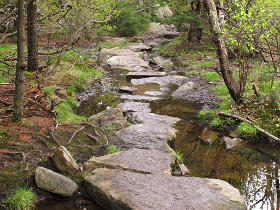
Watery path with placed stones This stretch must always be wet, as the trail maintainers put down a line of big stepping stones.  Even though I'd still seen few other people, there was clear evidence that many footsteps had gone across here recently.

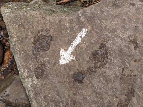
Barefootin' the White Arrow Soon I found myself on the White Arrow trail, which basically heads straight up to the top.

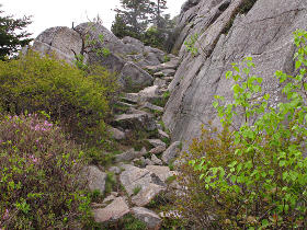
Trail up a notch Well, not dead-straight; it has to wind around a little between the steeper slabs but it's fairly direct.  And totally a giant stair-master's worth of workout.  Most of the way still didn't need any assistance from hands, so it was all about glutes and quads.

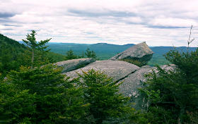
View across the valley
    [Pic: dhs]
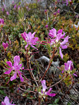
Mountain azaleas
    [Pic: sjs]
Meanwhile, my companions were having a pleasant and somewhat flatter amble along the Smith Connector, with lovely stretches of slab and plenty more of that wonderful view.  Pockets in the rock are full of azaleas and a species of rhodora that our attending bio-nerd had not seen before.

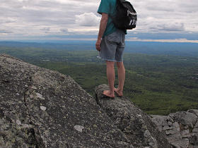
Summited! and headless I summited sooner than I thought I would, and completely screwed up an attempted timed-selfie "on the precipice" by mis-sizing the frame and removing my own head.  Oh well, at least I'd made it up here.

View to north (w/ Washington) Having been on the southeast side of this thing all morning, I could now finally get a view to the north.  Despite the overcast, the air was clear enough to spot Mt. Washington.

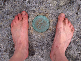
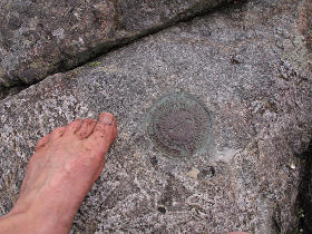
USGS marker USGS marker
Further proof of presence could be had from a couple of the permanent USGS markers we often find on mountain summits. 

Intersection of White Dot and White Cross
    [Pic: sjs]
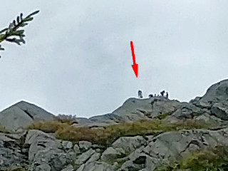
Theres one of us on the peak
    [Pic: sjs]
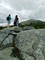
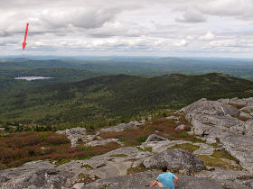
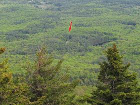
The others had reached the intersection with White Dot, and on pausing for a picture they realized that they'd just spotted me on the peak, mostly by silhouette and gait.  The peak isn't the highest thing visible here; it's peeking up from behind some nearer rock but is still identifiable by people on top.  On closely examining a crop from the original picture I could tell where I had been from the maybe three pixels' worth of my shirt color, and the black backpack swung off my shoulder.  I had apparently just finished hunting down the survey markers, and at that moment was either sitting down for a quick break or getting up from it.

[While it would undoubtedly sound archaic sometime down the road, at this point in time I still think it's insane how they've managed to pack a usable 12 megapixels into a *phone camera*.  The pic on the right is a tiny 1:1 extract from the original, and while some of the in-camera processing artifacts are visible it's pretty crisp and not hopelessly grainy or oversharpened.  Probably better than my old G9 would do.]


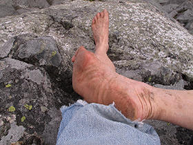
Feet sanded clean I only sat down long enough for a little water, and noticed that the slabs had sanded my soles completely clean.  Plenty of dried mud up the sides, though.  But one reason we go out and pound ourselves against natural landscape is to get dirty and have fun!

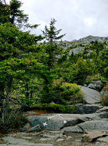
Visible human trail I explored around the top a little more but soon started down White Dot.  As I stepped down the slabs I noticed that the rock here felt a little different, perhaps a little less grippy, and it took a few minutes to realize why -- a subtlety that I *never* would have thought of otherwise.  The rock where the majority of the hikers scramble up has a noticeable yellowish cast, from accumulated skin oil and other human effluent.  This actually made it feel just a little slimy, like I had slightly more chance of my feet slipping.  I never would have had that degree of terrain feedback with shoes on.

The solution was to divert off the main track a little, and get back onto clean rock. 


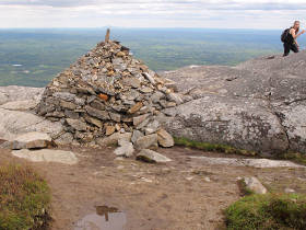
Big cairn marking White Dot Where White Dot drops over an edge, there's a big and interestingly constructed cairn.  Which someone appears to have added a penis to.  Which I managed to position just under Wachusett *and* reflected in the puddle.

  In the process of hopping down the first stretch I didn't get more pictures; I was concentrating on my route, staying just off-track enough to avoid the oil slicks and make good speed.  The other nice thing about barefoot hiking, as we pointed out to many people over the course of the day, is the stability and balance.  Like on my Blue Hills trip, people understood that but figured that they wouldn't have anywhere near the conditioned sole toughness for it themselves.  "Start slow around home and work up to it, it doesn't take long", I assured them.  "Your body *wants* to work this way."

I jetted past any number of people who were cautiously slipping and shuffling their way down the tumbled slabs, and caught up with my companions only a few hundred yards past the target intersection.  The timing had been perfect. 


Reservoir and parking lot waaaay down there As I looked down from this vantage, I realized that we could see the little reservoir and part of the parking lot from here.  We still had quite a ways to go to get back...

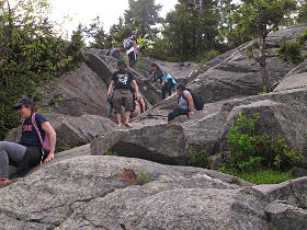
Sliding down the steeps The next parts down White Dot are quite steep, and it was amusing to watch the mix of peoples' preferred methods of descent.  Whether you hop over the high bits, stay down in the channels with the handholds, or just butt-slide your way down -- different ways to get the job done.  Here's where one's knees take the most beating, and much of this is too steep and irregular to even get any useful assist from poles.

Either way, our feet were sticking to the sloping rocks better than just about anyone else's expensive hiking boots.  And no worries about spraining an ankle.  Clearly, we impressed the crap out of many people that day.


Hopping down the wet parts As the trail leveled out somewhat we were back into plenty of wet areas, all well-trodden into a muddy mess over here.

Halfway back! There's actually a sign at the halfway point on White Dot, and we *were* tired by now.  Our feet were still just fine, it was the rest of the infrastructure that was starting to complain a little.  We settled into a steady grind of just working it at a reasonable pace.

Somewhere off-trail, a few ravens were circling and making some of the *oddest* calls.  We caught a glimpse or two of them when they looped out over the valley, but couldn't figure out what they were so on about.


Sitting in a hollow tree
    [Pic: sjs]
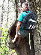
We still got a little time to stop and play, such as in a tree with so much of its internal core hollowed out we had no idea why it was still standing.  The resiliency of nature, or something.  The ground underneath this sounded like a big resonant drum when I thumped it with my heel.

Down closer to headquarters we used a little stream to wash most of the mud off our feet and legs, and shortly thereafter rejoined our missing member at the car.


  Even late in the day, we had seen a few people still heading up.  Apparently there's a "sunset club" or the like, or just locals who know the mountain well enough that they can blast up to catch the sunset and pick their way back down safely in the failing light.  But then it got more interesting -- as we neared the bottom, various rangers and official-looking people went steaming by at a good clip, also going up, so I asked if they were chasing the "sunsetters" to try and get them to not risk descending in the dark.  No, there had apparently been an injury somewhere along White Dot and they were all piling up there to effect rescue.  After a couple of burly "red-shirts" and *two* guys carrying ENG-grade video cameras went by, I figured this must happen fairly frequently and the press wants in on it.

A little searching later found the relevant incident.  The search results showed quite a few others at different times, too.  This was apparently one of the easier ones to handle, not too far up the trail -- by the time we got back to the car and got ourselves organized and loaded to head out, the ambulance had already pulled up and they had the victim off the mountain.  One ranger told us that some of those rescues, farther up, take six or seven hours far into the night, but it's one reason they're there.  And of course the higher likelihood of mishap comes later in the day, when people are tired and stupid and trying to come *down* which is usually trickier than heading up.  Something to always keep in mind on such trips.

Monadnock itself is a bit deceptive -- people discover that it's more difficult than they counted on, sometimes with disastrous results.  The four-and-some miles I had plotted became a bigger deal with all the vertical, but in our varying preferred degrees we got out and did it, never resorting to footgear at all, and overall it was a pretty awesome day -- completely in line with all those other searchable reports.  We stopped at a pub in Jaffrey for a brief dinner, and then it wasn't too far back to home and a very welcome bed.

    [And exactly a year later, did the climb again!]


_H*   170530